The original video for this entry was not archived — the entry is preserved as recorded.
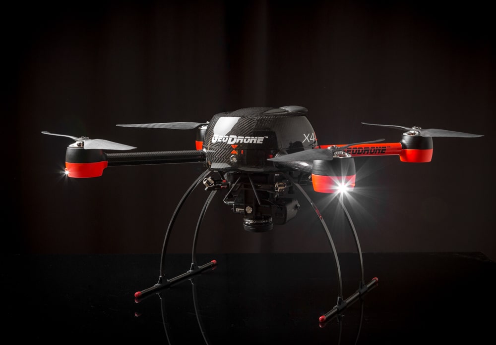
GeoDrone® X4L Aerial Mapping Drone
Which is made in Finland GeoDrone X4L Aerial Mapping Drone, emerges as a model of a drone that is manufactured for professional use. The drone, which is a visualization tool for professional users measurement and mapping, is for orthophotos, terrain models, planning and agriculture fields.